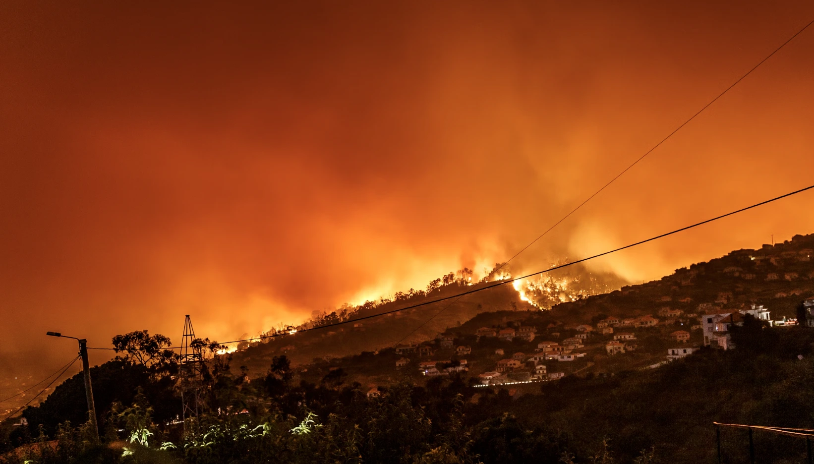
Image by Michael Held, from Unsplash
Google Launches FireSat: A New AI Tool For Wildfire Detection
In a Rush? Here are the Quick Facts!
- Google is launching FireSat, a satellite system to detect wildfires within 20 minutes.
- Using AI, FireSat quickly identifies fires by comparing satellite data with past imagery.
- Launching in 2025, FireSat will provide real-time updates and build a wildfire history archive.
Google announced today its partnership with wildfire authorities to launch FireSat, a satellite constellation aimed at detecting and tracking wildfires, aiming to improve response by providing near real-time information on fire location, size, and intensity.
FireSat uses custom infrared sensors and AI to monitor wildfire activity by comparing new satellite data with historical images. The system also factors in local weather and infrastructure to quickly identify fires.
FireSat is set to detect fires as small as a classroom (5×5 meters) within 20 minutes. This is a significant improvement over current methods, which often rely on ground-based observations or less sensitive satellite imagery.
The first satellite is expected to launch in early 2025, with a full constellation planned in the coming years.
Developed in collaboration with the Earth Fire Alliance, Muon Space, and the Environmental Defense Fund, FireSat will provide high-resolution imagery updated every 20 minutes, allowing authorities to spot small fires before they become uncontrollable.
Once operational, FireSat will provide near real-time data to help fire agencies respond faster. In addition, FireSat will build a global historical record of wildfire behavior. This archive will enhance existing fire simulation models, helping scientists and emergency agencies to better understand and predict the spread of fires.
The Verge reports that former California state fire marshal Kate Dargan Marquis hailed FireSat as a “game changer,” particularly in light of the increasing severity of wildfires. “Information like this will make a life-saving difference,” she explained, highlighting the critical need for real-time data as wildfires become more frequent.
Christopher Van Arsdale, lead researcher at Google’s Climate and Energy group, emphasized the gap in current wildfire data, which prompted the development of this satellite system. “There is a significant gap between the data we have available today and what we could have with better satellite coverage,” Van Arsdale stated, as reported by The Verge.
MIT Technology Review notes that the importance of this technology is underscored by the current wildfire situation in the western U.S., where major fires like the Line Fire in Southern California, and the Shoe Fly Fire in Oregon have already ravaged vast tracts of land.
The FireSat project is expected to cost over $400 million, but experts argue that this investment is minor compared to the annual economic losses caused by wildfires in the U.S. alone, as noted by the MIT Review.
Despite the advances FireSat promises, experts caution that improved satellite data alone cannot fully mitigate wildfire risks.
Effective land management, including prescribed burns and better urban planning in fire-prone areas, is essential to reducing fire fuel and ensuring the success of firefighting efforts, as suggested by the MIT Review.
Google’s recent development of a new weather prediction model demonstrates the company’s commitment to advancing climate science and technology. This AI model could potentially enhance our understanding of long-term weather patterns, including those related to wildfires.


 Previous Story

 Latest articles

Leave a Comment
Cancel