Photo by Josh Berendes on Unsplash
Google-Backed FireSat Launches First Satellite For Early Wildfire Detection
Reading time: 3 min
Last Updated: Mar 19, 2025
-
![Andrea Miliani]()
-
![Sarah Frazier]()
Fact-Checked by Sarah Frazier Content Manager


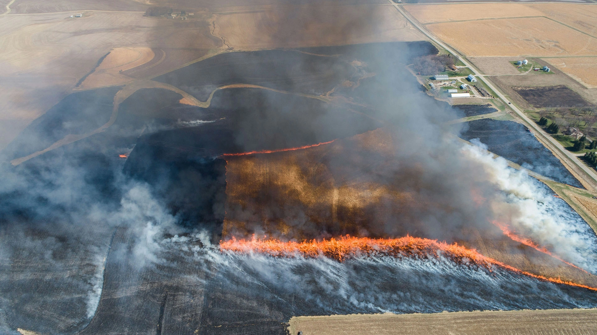
Google announced that FireSat launched the first satellite of its over 50 constellation network and made contact with Earth successfully this Monday.
In a rush? Here are the quick facts:
- FireSat’s first satellite was successfully launched to enhance wildfire detection using AI technology.
- The FireSat project, backed by Google Research and wildfire experts, aims to provide real-time satellite monitoring of wildfires with updates every 20 minutes.
- This AI-driven satellite network is set to replace outdated, low-resolution wildfire detection systems.
According to the tech giant’s announcement, the spacecraft has been launched aboard SpaceX’s Transporter-13 mission from the Vandenberg Space Force Base located in California.
FiatSat—a collaborative initiative between the Moore Foundation, Earth Fire Alliance, Muon Space, Google Research, and wildfire authorities—has been designed to monitor and detect wildfires in real-time using advanced AI technology through its satellite-based system.
The tool for wildfire detection was announced in September last year, and, as promised, the first satellite was launched early this year.
The new technology is expected to provide high-quality images—better than the current satellite imagery used by wildfire authorities, which contains low-resolution data—that will be updated every 20 minutes, to help authorities catch fires, even those as small as 5×5 meters area, and prevent their spread.
According to Google’s official blog The Keyword, Juliet Rothenberg—Product Director of Climate AI efforts at Google Research—was affected by a California wildfire 4 years ago and said she remembers the satellite images update every 12 hours, making it difficult to make quick and safe evacuation decisions.
The experts behind FiatSat have included advanced AI technology to spot fires at an early stage.
“Some satellites today take a picture about every five minutes, but they’re coarse,” said co-founder Chris Van Arsdale. “You’re lucky if you can see the city of San Francisco in the image. You’re certainly not going to see where a fire is until it’s a few acres in size.”
FireSat developers have faced multiple challenges like differentiating “noise” from real fires but developed scientific solutions and sensors to optimize the system,
“FireSat is more than just an emergency response tool,” said Rothenberg. “It’s also an incredible tool for reducing greenhouse gas emissions.”
The shortcomings of fire detection technologies used in recent years have driven new initiatives like FireSat and also Watch Duty, an app based on collaborative information sharing among neighbors to assist during fires. With the support of volunteers and firefighters, the Watch Duty app reached 2 million downloads in January during the Los Angeles wildfires.

 Latest articles


Leave a Comment
Cancel